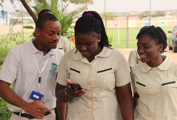
Spatial Thinking (SpaT) Campaign is a program that has been instituted by AccuGeospatial, as part of its Corporate Social Responsibility. This program targets students in second-cycle institutions with the aim of equipping them with spatial thinking skills, as well as creating awareness of the use of geospatial tools and platforms. This can be achieved by teaching students to examine objects and their associated
data, based on their location (coordinates) to ignite spatial thinking in them.
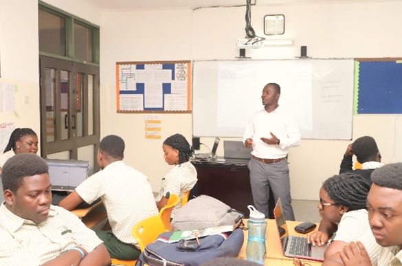
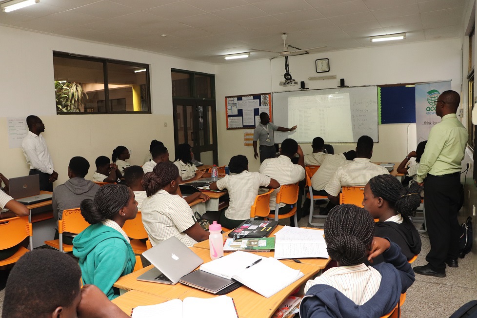 On Tuesday, 24 September 2019, a team of four from AccuGeospatial in their dedication to teaching Geographic Information System tools and applications met 23 MYP Geography students of Tema International School to train them on how the application of GIS would help them think spatially and to inform critical thinking decisions based on location. The mode of delivery of the sessions were a combination of PowerPoint slides and hands-on software demonstrations and field data collection. In all, three sessions of hands-on interactive training were held from September to October 2019. For the purpose of the training, a 21-day ArcGIS Online trial license was set up for all the students. The focus of the training was to get them conversant with the ArcGIS Online platform and its bundled mobile and field apps. ArcGIS Online can be explained among others as an interactive display of geographic information that can be used to tell stories and answer questions. The training continued Wednesday, 25 September and Monday, 7 October, 2019.
The training session highlighted the key tools in the creation of interactive maps on ArcGIS Online. These tools are powerful decision-making tools for any business or industry since it allows the analysis of environmental, demographic, and topographic data. Data intelligence compiled from GIS applications help companies and various industries, and enable consumers make informed decisions.
In conclusion, the three day sessions of hands-on practical tution on geospatial tools and platforms sparked the interest of majority of students who requested the team to help institute a GIS club to assist spatial thinking education in the school (TIS). They were really impressed with how the students dedicated themselves to the project, their humility and the spirit of collaboration during the three
sessions.
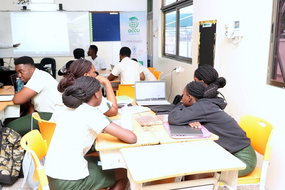 TEACHER REFLECTIONS ON TIS SPATIAL THINKING (SPaT) PROJECT
The TIS SPaT campaign project by ACCU Geospatial has been an insightful experience for me. The enthusiasm with which the students accepted the campaign was overwhelming. The sessions were restricted to our very limited Geography instructional time. I was amazed with the speed with which our students grasped the skills needed for publishing and sharing their web-based maps. Geographic information systems form part of the MYP Geography curriculum, as we can no longer depend on the traditional topographical maps for the teaching of geographical skills. We will appreciate if ACCU Geospatial can support Tema International School to obtain a lifelong license for the use of ARCGIS.
We will also be grateful if the ACCU Geospatial team can provide technical assistance to the school as we seek to incorporate GIS into the teaching and learning of the subject. May I take this opportunity to express our heartfelt appreciation to ACCU Geospatial team: Richmond Kyei-Baffour, Evans Arthur, Stephen Afriyie, and Martinson Yirenkyi Smart, for their tireless efforts in introducing our students to the use of digital mapping. We wish to express our profound gratitude the Mr. James Annang-Aggrey, Managing Director of ACCU Geospatial for his thoughtfulness in linking our school to the SpaT campaign. We look forward to a scholarly fulfilling relationship with your organization. The MYP Geography class are forever grateful to our principal, Dr Ken Darvall, for granting us the permission to
be part of the SPaT Campaign. ~Dr Michael Odame (MYP 5 Geography Teacher)
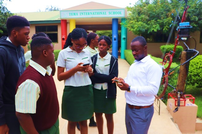 REFELCTIONS FROM STUDENTS
Overall, the SpAT training was an amazing experience for me and I must say even though I was unfamiliar with some of the terminology used during the training, I paid close attention and grasped everything. I must commend the ACCU Geospatial team for the emonstration of an interactive and audience appealing software. Now I can say that I know about digital maps and how to publish them. ~(Adeline Adjei)
During our Geography lessons, we were taken through a GIS Spatial Thinking project. We made maps using layers of data from mega cities from several countries in different years. In this project, I enhanced my thinking skills when we had to transfer all the map work skills they taught us to create the my own map to be published on a website. From the project, I am now familiar with the use of the ARCGIS software. ~( Elorm Godzi)
We were taught how to publish web maps and manipulate layers of base maps for spatial analysis. We published the map we built and added some widgets that will help you leave bookmarks for remembrance. I published my own web map and I was able to send it to my friends. The map was about megacities available during the years 1950s, 1960s, 1970s, 1980s, 1990s, 2000s, 2010s, 2020s and
2030s.
 On the map, you are able to click the dots representing the cities to give you information about the various cities. Some information included the population of the city as of the year, the rank in respective to the amount of population and the country location of the city. I am now able to rank the cities according to their population or rank order. When I am asked to build and publish the web map again,
I will be able to do it with ease because I took time to listen to our instructor, Mr. Richmond Kyei-Baffour while he was giving instructions.
~(Richard Tetteh Agbemador)
During the spatial thinking project, I got the chance to use a web-application to represent spaces, which were too big to display. Documents and tables can be added so you can use the information in the table for spatial analysis. The approaches to learning (ATL) skills, which I used, were self-management, research and thinking. For self-management, I needed to take time after school to download, prepare and upload my data files into the application; I had to search online about some features in the app to know and this called for
research skills. I had to think critically because some commands of the app were not straightforward and so I could not use the app easily. I had to take my time to analyse the symbols and terms before I started to use the web app smoothly. I really appreciate the effort of the ACCU Geospatial team for their patience whilst taking us through the lessons. ~(Kelvin Ahiakpor)
